Run, walk or cycle the Atlanta BeltLine’s most popular stretch, the Eastside Trail, from Piedmont Park to Ponce City Market & Old Fourth Ward.
(round trip)
paved
friendly
LOCATION:Atlanta, Georgia
PACK:our Osprey day pack and our hiking gear list
The Atlanta BeltLine is a visionary project on a grand magnitude, aimed at transforming transportation and outdoor enjoyment in Atlanta. When completed, the project will produce a 33-mile, multi-use trail connecting 45 of Atlanta’s in-town neighborhoods along a former railroad corridor. An effort over 13 years in the making, the Atlanta BeltLine has opened partial segments of the trail’s final epic distance.
This run, bike or stroll explores a 2-mile paved section of the trail, the Eastside BeltLine Trail, which opened in 2013. The trail connects Atlanta’s Midtown, Old Fourth Ward and Inman Park neighborhoods, visiting the upscale redevelopment of Ponce City Market and passing a plethora of shopping and dining options along its well-loved path.

The Eastside BeltLine Trail is a level grade, wide swath of pavement that departs Midtown Atlanta at the southeast corner of Piedmont Park. Grab time on the trail on a fair-weather weekend, and the catalyst for the BeltLine’s positive intown buzz becomes quickly apparent: walkers, runners, cyclists, skaters, and strollers pack the trail, enjoying some sunshine, catching some cardio, or strolling to one of many BeltLine-side restaurants.

Eastside Atlanta BeltLine Trail: the details
Catch the trailhead at the intersection of 10th Street and Monroe Drive near Piedmont Park (view parking info, maps and driving directions). The paved Eastside Trail runs southeast, tunneling through an underpass beneath Virginia Avenue painted in vibrant murals.

The Atlanta BeltLine is a celebration of community, culture, and history. Work of local Atlanta artists and historic railway artifacts dot the trail’s pavement, and cycle with the seasons.
The trail crosses Ponce de Leon Avenue via a bridge, making a trek between the historic Ford Factory and the massive, recently-opened redevelopment project, Ponce City Market. Make a mid-trail stop at Ponce City Market to grab a bite or a sip – there’s even a bike valet for those on two wheels.

The Eastside Trail continues its southbound journey, crossing North Avenue and catching Atlanta skyline views from the North Avenue bridge. Entering Atlanta’s historic Old Fourth Ward neighborhood, the BeltLine passes the Old Fourth Ward Skatepark, a collection of enormous bowls, ramps, rails and half-pipes that are a stage for Atlanta’s skateboarding talent. Partially funded by the Tony Hawk Foundation and designed in collaboration with the local skate community, the park is Atlanta’s first public skatepark and, since opening in 2011, has been continually active. The park’s swath of green lawn is the venue for many events through the year, including the annual BeltLine Boil and occasional yoga events.
The trail dives under the Highland Avenue bridge before approaching its paved end at Irwin Street, a 2-mile stretch from the Piedmont Park trailhead. Grab a bite or a drink at one of the nearby Inman Park restaurants before returning to Midtown, retracing your outbound steps to Piedmont Park.

Extend your run
Have time and energy left? Take a run through Piedmont Park, exploring the park’s most scenic areas and catching some great skyline views.

Please Remember
Always leave no trace, pack out everything you pack in, and if you see trash, pick it up and pack it out.
Stay on the marked trail, tell someone where you're going, pack safety and wayfinding essentials, and don't rely on a mobile phone to find your way. Please always practice good trail etiquette. And before you go, always check the trailhead kiosk, official maps, and the park or ranger office for notices of changed routes, trail closures, safety information, and restrictions.
Atlanta BeltLine Eastside Trail Map, Directions & Details

Love the trail?
This trail is maintained thanks to the hard work of countless volunteers and donations from supporters of Park Pride. Please support them by making a donation or joining a volunteer day. Let's work together to keep these fantastic trails maintained and open for use!
Driving Directions
Parking
Paid parking is available at the Piedmont Park SAGE parking deck, or the lot beside Park Tavern at 10th Street and Monroe Drive.
GPS Coordinates
33.781917, -84.368467 // N33 46.915 W84 22.108
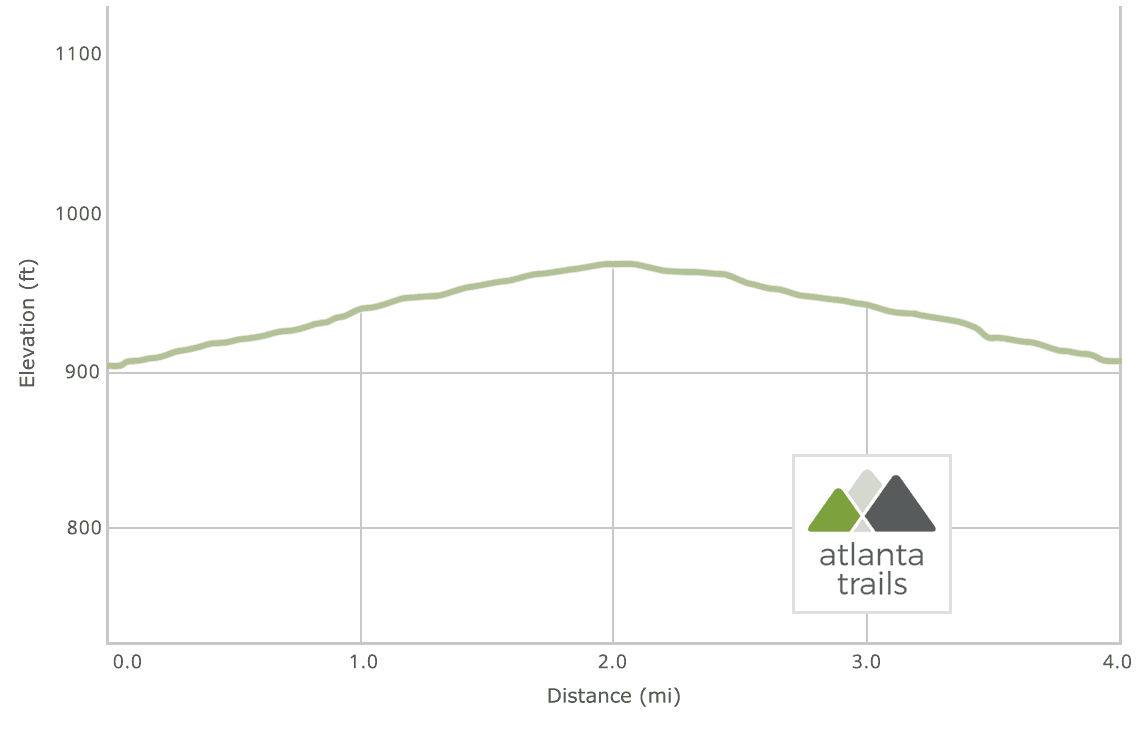
Elevation Profile