Autumn is our favorite hiking season in North Georgia. Days become cooler, nights become crisp, skies become brilliantly blue, and the cool air triggers a spectrum of leaf color in deciduous trees in the mountains. Autumn’s crisp air makes for comfortable fall hiking, camping, and backpacking, as Georgia sheds its summertime heat. Fall leaf color explodes throughout the state’s rolling southern Appalachians, painting the valleys and mountains in yellow, orange and red. And there’s just something about the Fall that goes hand-in-hand with hiking (and pumpkin-flavored everything): it’s by far our favorite season to hit the trail.
Top Fall hikes in Georgia: our favorite trails
On the way to scoring some beautiful, colorful autumn views, head to Hiawassee to meet the Atlanta Trails crew at our new hiking outfitter shop, Trailful Outdoor Co. We stock our crew’s favorite hiking gear and apparel from our favorite brands including KUHL, Osprey, Darn Tough, Good To-Go, Ruffwear, Sierra Designs, and more. And we carry our full line of Atlanta Trails hoodies, shirts, hats and goods, as well as great mountain-inspired locally-made gifts and goods. Stop by to say hello… we’d love to see you!
Looking for an adventure closer to Atlanta? Check out our top ten favorite fall hikes near Atlanta to explore autumn’s beauty on scenic mountain summits, shady river valleys, and through vibrant, leaf covered forest.
![Hike Fort Mountain State Park in autumn to catch gorgeous views of vibrant leaf color in the North Georgia mountains]()
FORT MOUNTAIN STATE PARK
Fort Mountain Wall, Tower & Overlook Trail
1-8 MILES
Hike a three trail trio at Fort Mountain State Park to an ancient, mysterious serpentine wall, a fort-like historic stone tower, and sweeping views from the park’s overlook framed in fall leaf color.
VIEW TRAIL INFO & MAPS
BLACK ROCK MOUNTAIN STATE PARK
Tennessee Rock Trail
2.2 MILES
Hike Black Rock Mountain, Georgia’s highest-elevation state park, to catch early-season leaf color from the park’s lofty elevations, trekking to the Tennessee Rock overlook for views of surrounding autumn-hued peaks.
VIEW TRAIL INFO & MAPS
APPALACHIAN TRAIL
Springer Mountain
2-16 MILES
Hike to the southernmost end of the iconic, 2000+ mile Appalachian Trail at Springer Mountain, catching gorgeous autumn color from the mountain’s 3780-foot summit. Climb through a rocky forest to the summit from the nearby Springer Mountain parking area, a 2-mile round-trip. Or, for a more scenic route (and longer workout), follow the AT southbound from the lush, rhododendron and hemlock-filled creek valley at Three Forks, a round trip of just under 9 miles.
VIEW TRAIL INFO & MAPS![Blood Mountain: fall hiking, backpacking and camping on the Appalachian Trail's highest point in Georgia]()
APPALACHIAN TRAIL
Blood Mountain
4-16 MILES
Blood Mountain is likely North Georgia’s most popular fall hiking destination, and for a good reason: views from the summit, the highest on the Appalachian Trail in Georgia, are stunning. Hike the Byron Reece Trail to the AT, climbing through rocky terrain to the summit through a leafy, deciduous forest. Or, for a fantastic backpacking adventure, scale Blood Mountain and then follow the AT northbound to Cowrock Mountain, catching even more breathtaking, autumn-hued views.
VIEW TRAIL INFO & MAPS![Best autumn hikes in Georgia: Cloudland Canyon State Park in fall]()
CLOUDLAND CANYON STATE PARK
Cloudland Canyon Waterfalls Trail & Rim Trails
2-6 MILES
Grab sweeping views of Cloudland Canyon’s fall colors. Hike the canyon’s eastern and western rim to spot a spectrum of leaf colors in the canyon and on the surrounding mountains, before plunging into the steep-walled canyon to catch views of its tumbling waterfalls framed in the colors of autumn. Located in the northwestern corner of Georgia, Cloudland’s color typically peaks early in the season.
VIEW TRAIL INFO & MAPS
AMICALOLA FALLS STATE PARK
Amicalola Falls
2-15 MILES
Hike to the towering Amicalola Falls, Georgia’s tallest waterfall, framed in colorful fall leaf color, and catch top-of-the-falls views of the vibrantly-leafed, surrounding Appalachian mountains. Up for a challenge? Extend your hike on the AT Approach Trail, trekking through a colorful deciduous forest to the summit of Springer Mountain and the southernmost blaze of the Appalachian Trail in Georgia.
VIEW TRAIL INFO & MAPS![Best fall hikes in Georgia: hike to stunning autumn views at Tallulah Gorge State Park]()
TALLULAH GORGE STATE PARK
Tallulah Gorge Trails
2-4 MILES
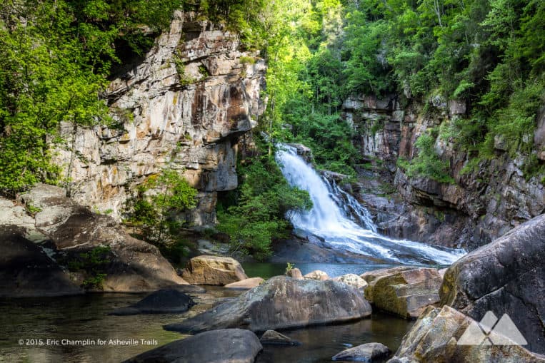
One of our all-time favorite spots to view Georgia’s fall leaf color is from the towering rim of Tallulah Gorge. Catch dizzying views from the gorge rim before descending into its deep-carved walls, crossing a swaying suspension bridge and scoring up-close views of the Hurricane Falls waterfall.
VIEW TRAIL INFO & MAPS![Hike one the Appalachian Trail in Georgia to catch gorgeous autumn summit views from Preachers Rock near Woody Gap]()
APPALACHIAN TRAIL
Woody Gap to Preachers Rock on the Appalachian Trail
2.5-11 MILES
Hike one of the most popular Appalachian Trail segments in Georgia, and catch gorgeous autumn summit views from the Woody Gap trailhead and Preachers Rock at Big Cedar Mountain. Up for more mileage? Continue the adventure to Jarrard Gap for even more fall beauty in the Blood Mountain Wilderness.
VIEW TRAIL INFO & MAPS
COHUTTA WILDERNESS
Beech Bottom Trail to Jacks River Falls
9 MILES
Hike to one of North Georgia’s most beautiful waterfalls, trekking through lush forest and rocky stream valley, before catching brilliant autumn-colored reflections in the deep pools below the falls. The Beech Bottom Trail offers the most direct (and driest) route to Jacks River Falls, making it prime for a chilly-weather autumn adventure.
VIEW TRAIL INFO & MAPS
BARTRAM TRAIL
Rabun Bald on the Bartram Trail
3 MILES
Hike this classic day hike on the Bartram Trail to Georgia’s second highest peak, Rabun Bald, climbing through a dense tunnel of leathery-leafed rhododendron. At the Rabun summit, catch spectacular 360-degree panoramic views of North Georgia’s exploding fall leaf color from a historic stone and wood fire lookout tower.
VIEW TRAIL INFO & MAPS
Our favorite hiking gear
What to pack for a Georgia fall hiking adventure?
Ready to hit the trail, but wondering what to pack? Our hiking gear list features our favorite, trail-tested hiking gear for day hikes on local trails and in the Georgia backcountry. We print and stitch our Atlanta Trails shirts and hats locally in Atlanta and Asheville, and they’re our favorite for trail adventures all over the South. And no matter what you pack in, pack it all back out. Please leave no trace and help preserve Georgia’s beauty.
OUR HIKING GEAR LIST![Hike our top ten favorite fall leaf hikes near Asheville, North Carolina]()
GREAT AUTUMN HIKES IN WESTERN NC
Best fall leaf hikes near Asheville
1-10 MILES
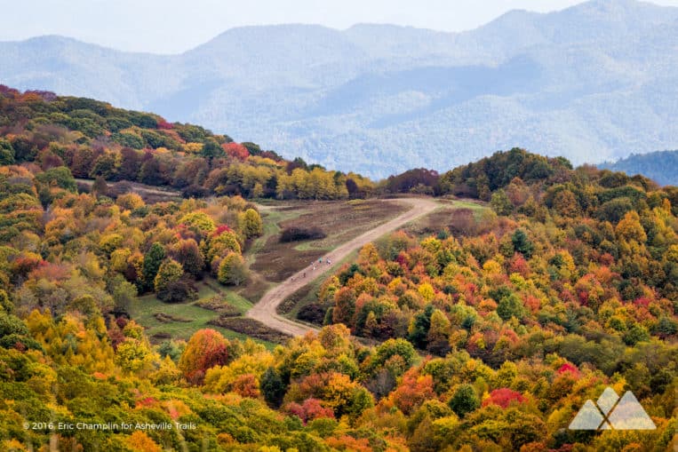
Chase early fall color in the mountains of western North Carolina, summiting some of our favorite, lofty mountains over 6,000 feet on our top ten favorite autumn hikes near Asheville. From winding, scenic stretches of the Blue Ridge Parkway to grassy mountain balds capped with historic fire towers on the Appalachian Trail in NC, these hikes offer ample autumn beauty.
SEE OUR FAVORITES
More great fall leaf hikes & adventures
North Georgia fall leaf season: when to hike?
Temperatures and elevations range across the state, so peak leaf season will vary widely by location. Leaf change starts with high-elevation mountain summits in early fall and moves down to lower creek valleys and more southern latitudes as the season progresses. (Early in the season, and eager for a great fall hike? Check out our top ten favorite fall leaf hikes near Asheville, NC for a great autumn road trip just across the Georgia border!)
Most of northern Georgia sees peak leaf color in mid-October to mid-November. Check out this interactive leaf color prediction map for county-by-county predictions of peak color throughout the US, and the fantastic Georgia State Parks Leaf Watch site for updates on peak fall foliage in our favorite parks throughout our state.
Fall hiking safety
Leaf change coincides with deer hunting season in North Georgia. Plan your Fall hiking trip and hike safely: pack first aid and survival equipment, water, wayfinding tools, and layered clothing – and follow guidelines for safe hiking during hunting season.
Please Remember
Always leave no trace, pack out everything you pack in, and if you see trash, pick it up and pack it out.
Stay on the marked trail, tell someone where you're going, pack safety and wayfinding essentials, and don't rely on a mobile phone to find your way. Please always practice good trail etiquette. And before you go, always check the trailhead kiosk, official maps, and the park or ranger office for notices of changed routes, trail closures, safety information, and restrictions.


